|
|
|||
| Home | E-mail Me | Bottom of Page | ? |
Click on a photo to see a larger version!
Jump to Launch Ramps - CLICK HERE | Jump to Campsites - CLICK HERE | Jump to other stuff - CLICK HERE
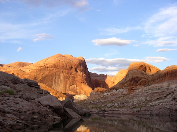
Rainbow Bridge Area 2003 - Pics taken on September 2, 2003
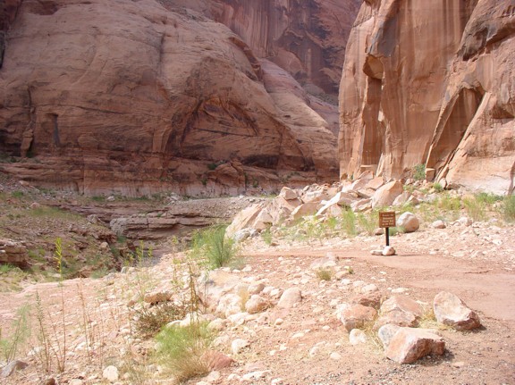
BELOW: This is basin where the courtesy docks would be at full-pool:

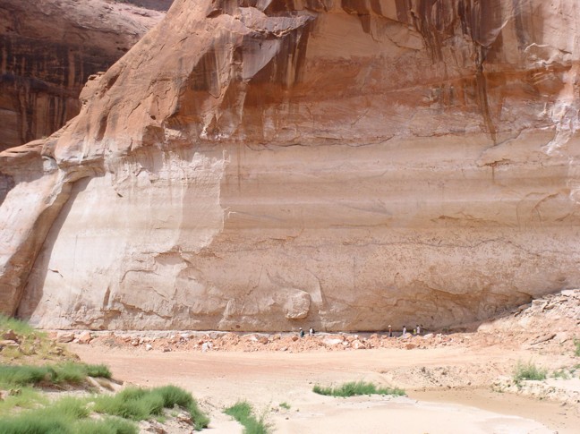
BELOW: This is looking down canyon at a basin along the new trail to Rainbow Bridge. For scale, those small specks near the bottom of the pic are PEOPLE on the trail! Look how far above them the high water line is! The day I took these photos, the walk was a bit less than 1.4 miles each way.
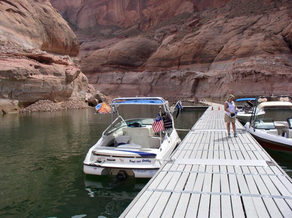
BELOW: Here is a shot of the courtesy docks.
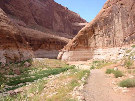
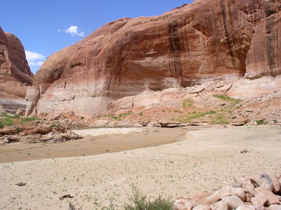
BELOW: This is another basin along with trail, now high and dry! I think the courtesy docks are here when the water is about 3650'.
BELOW: This is where the trail would meet the docks at or close to full pool.
BELOW: This is just around the corner from where the courtesy docks are now.
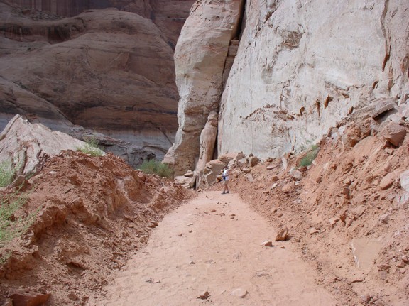
BELOW: Here is the freshly-dug new trail close to the docks.
BELOW: Here's a peek at the bridge, still a way off!
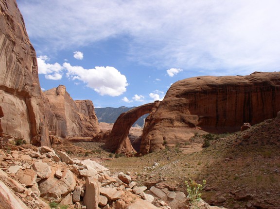
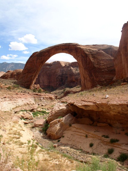
BELOW: Here is the bridge in all it's glory - with a very dry creek bed below...
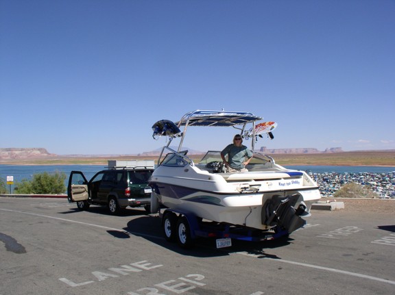
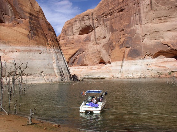
This is the Wahweap Main Ramp - Pics taken Thursday, September 4, 2003. My green Nissan and boat are in the photos. The ramp surface is now crumbly asphalt covered by a layer of silt and mud. My tire began to spin when I pulled out, so I bumped into 4 wheel drive and pulled up the ramp fine!
Click a pic to enlarge!
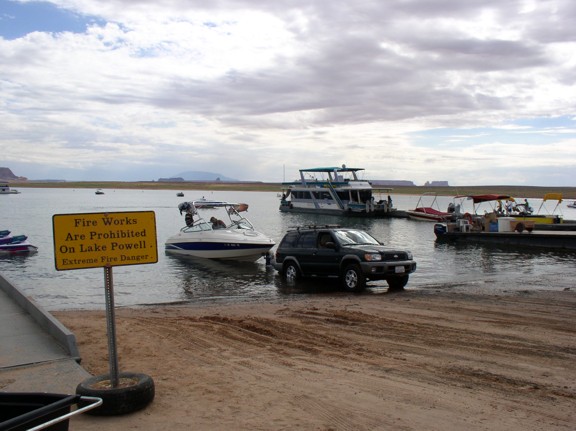

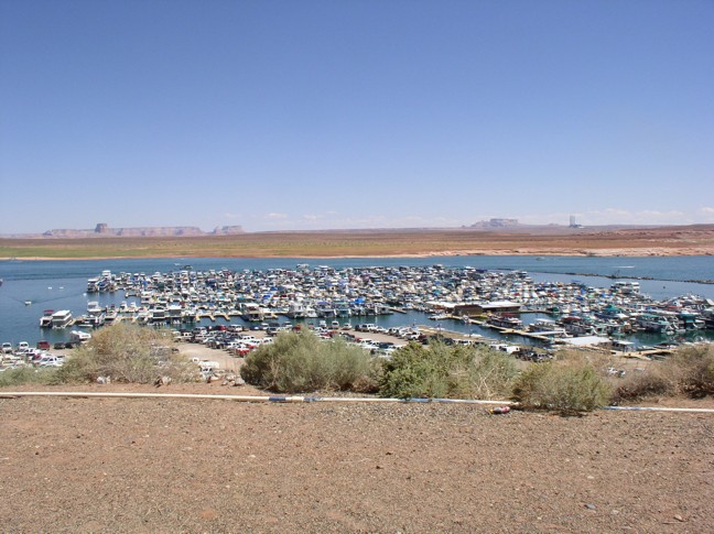
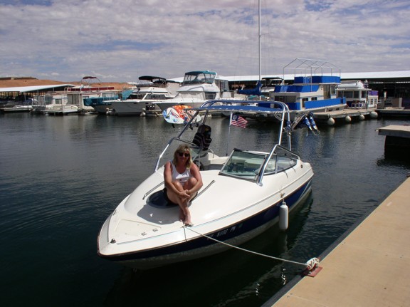
Here is a panoramic shot of Wahweap Marina, and us prepping for launch on the ramp!
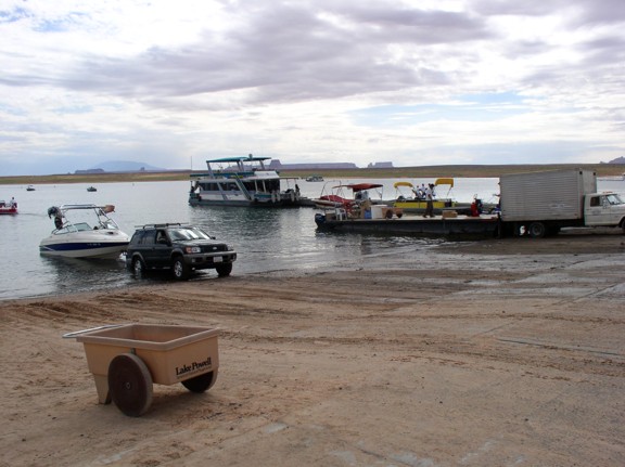
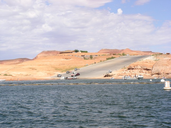
Here is the Bullfrog Ramp - Pic taken Wednesday, September 3, 2003, and a shot at the Marina dock.
BELOW: This is our Cathedral Canyon spot, and a shot taken towards the back of the canyon.
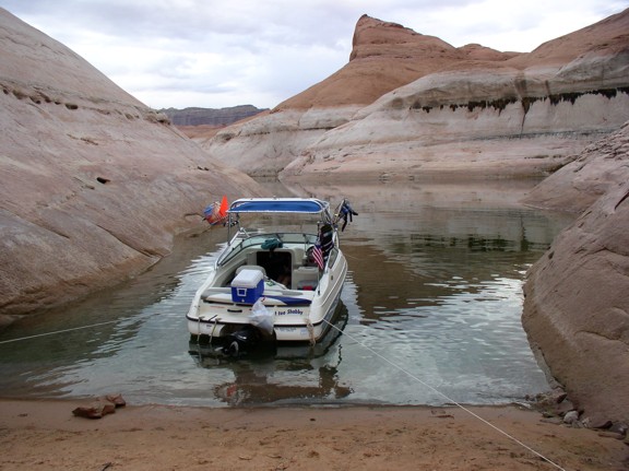


BELOW: This was our second night - in Cottonwood Canyon, a shot of our spot and of the surrounding area at sunset.
BELOW: Third night campsite in the back of Iceberg Canyon, right next to the now-exposed natural dam.
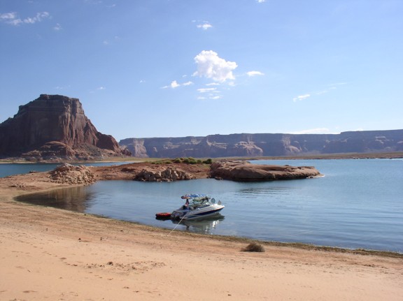
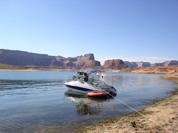
BELOW: The first night, on a quiet beach in Padre Bay, at a nice beach normally 95' under water!
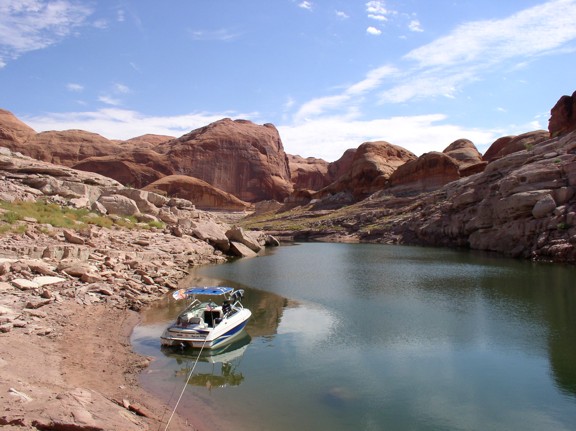
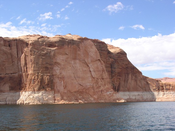
BELOW: Here is a pic of a new spall on the lake. I can't remember where I took this pic - maybe south of Iceberg Canyon.
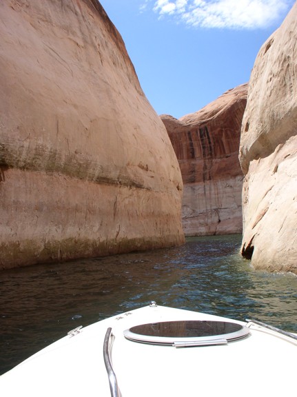
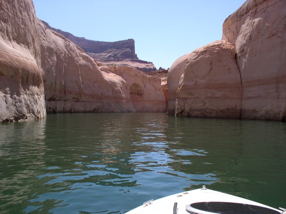
A couple of shots almost at the end of Wetherhill Canyon, as far as could go!

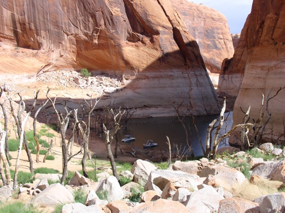
BELOW: Here is the very end of Clear Creek Canyon. At this water level, the canyon ends in a grotto, with Cathedral in the Desert a short hike up the canyon.
![]()
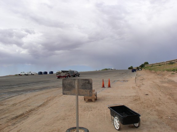
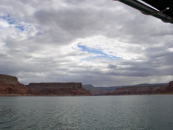
BELOW: Threatening skies a bit south of Dangling Rope! Last day on the lake, about 25 miles up lake from Wahweap. We didn't get rain until we got the boat out of the water!
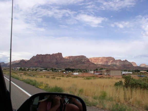
Can you name this city - prominently mentioned in a recent and controversial best-selling book - located between St. George and Page? If so, e-mail me here!
All photos on this site are copyrighted! Copyright© 2005 | David Shabestari | SDG, Inc.